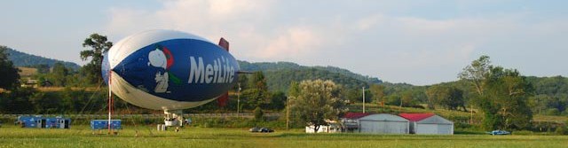
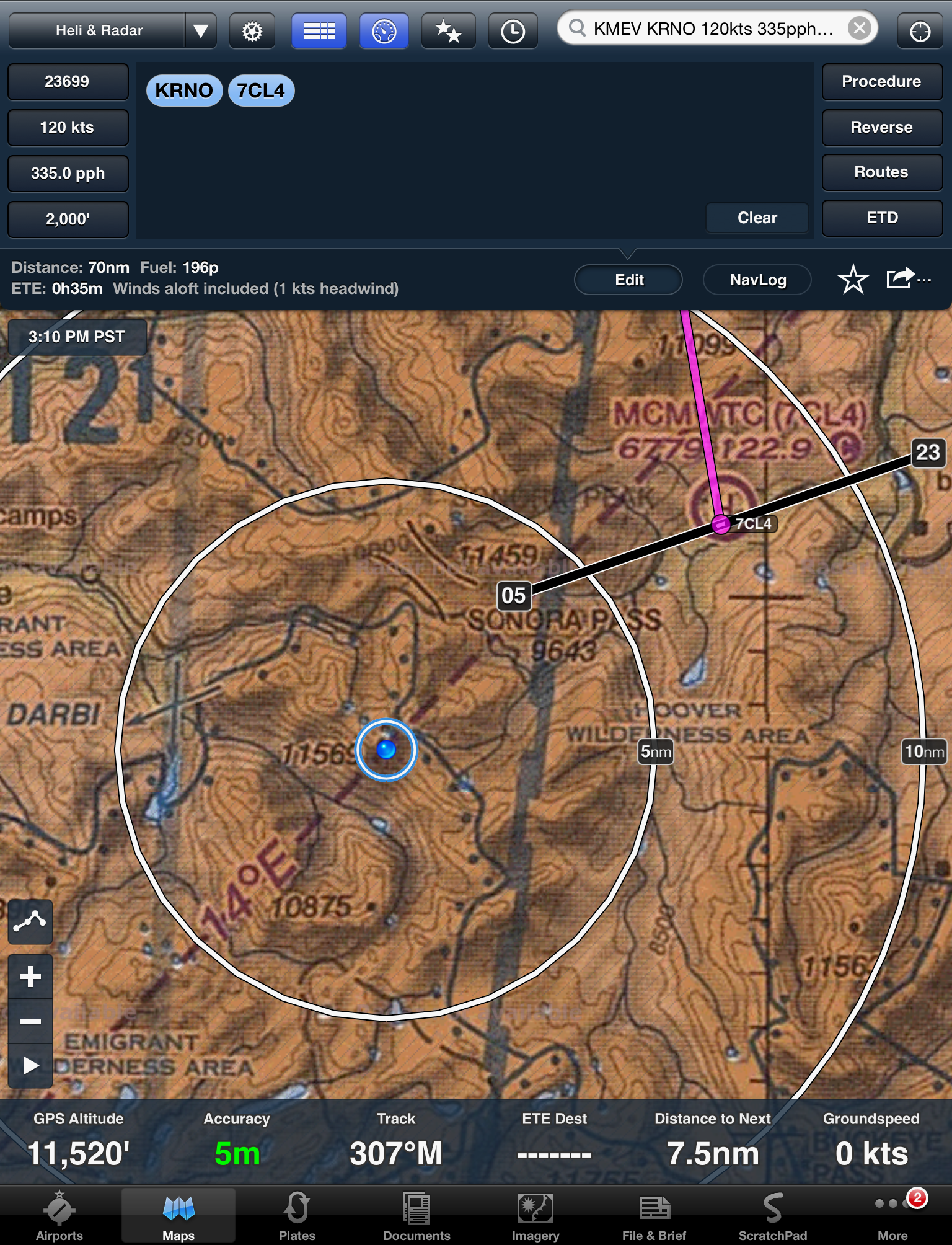
As a little kid I heard about the light beacons used to guide the Air Mail flights across the United States in the 1920s. But just a year or so ago I learned that the beacons also included a concrete arrow on the ground to point to the next beacon and that some of these concrete arrows still exist. I have flown VFR across the US many times and was surprised that I had not heard of or seen any of them. But just recently, on my cross-country from the west coast to the east, I randomly chose KGNT in New Mexico as ![]() a refueling stop. KGNT (Grants-Milan Airport) sits at 6537′ just west of the 11,301′ Mt. Taylor. I was thrilled to find a complete Airway Beacon Site that has been moved to this airport and restored by the Cibola County Historical Society. The small FBO is a very friendly place and loaded with memorabilia. The photo on the left is taken from the ramp looking at the FBO and you can see the beacon to the rear of the building. The next photo is of the beacon and the generator shed along with the concrete arrow pointing to the next beacon station. Also in the photo on the left there is a partially restored CAA Flight Service Station that was used during
a refueling stop. KGNT (Grants-Milan Airport) sits at 6537′ just west of the 11,301′ Mt. Taylor. I was thrilled to find a complete Airway Beacon Site that has been moved to this airport and restored by the Cibola County Historical Society. The small FBO is a very friendly place and loaded with memorabilia. The photo on the left is taken from the ramp looking at the FBO and you can see the beacon to the rear of the building. The next photo is of the beacon and the generator shed along with the concrete arrow pointing to the next beacon station. Also in the photo on the left there is a partially restored CAA Flight Service Station that was used during 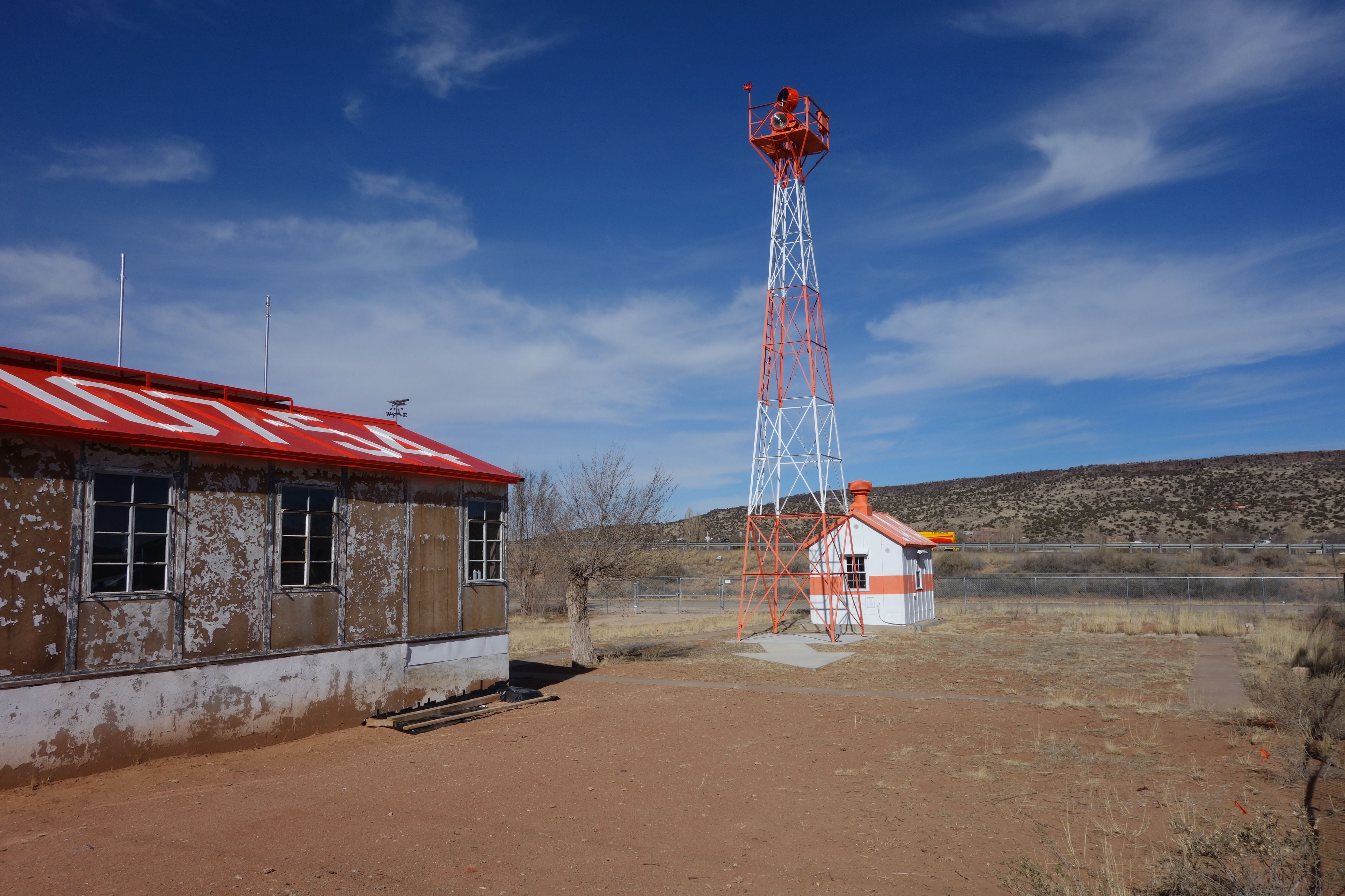 the era. If you go to the Cibola web site you will find much more information on the beacons and their efforts to preserve this piece of aviation history. This next two pictures are of a small memorial
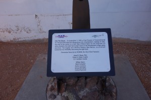
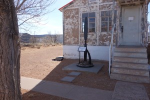
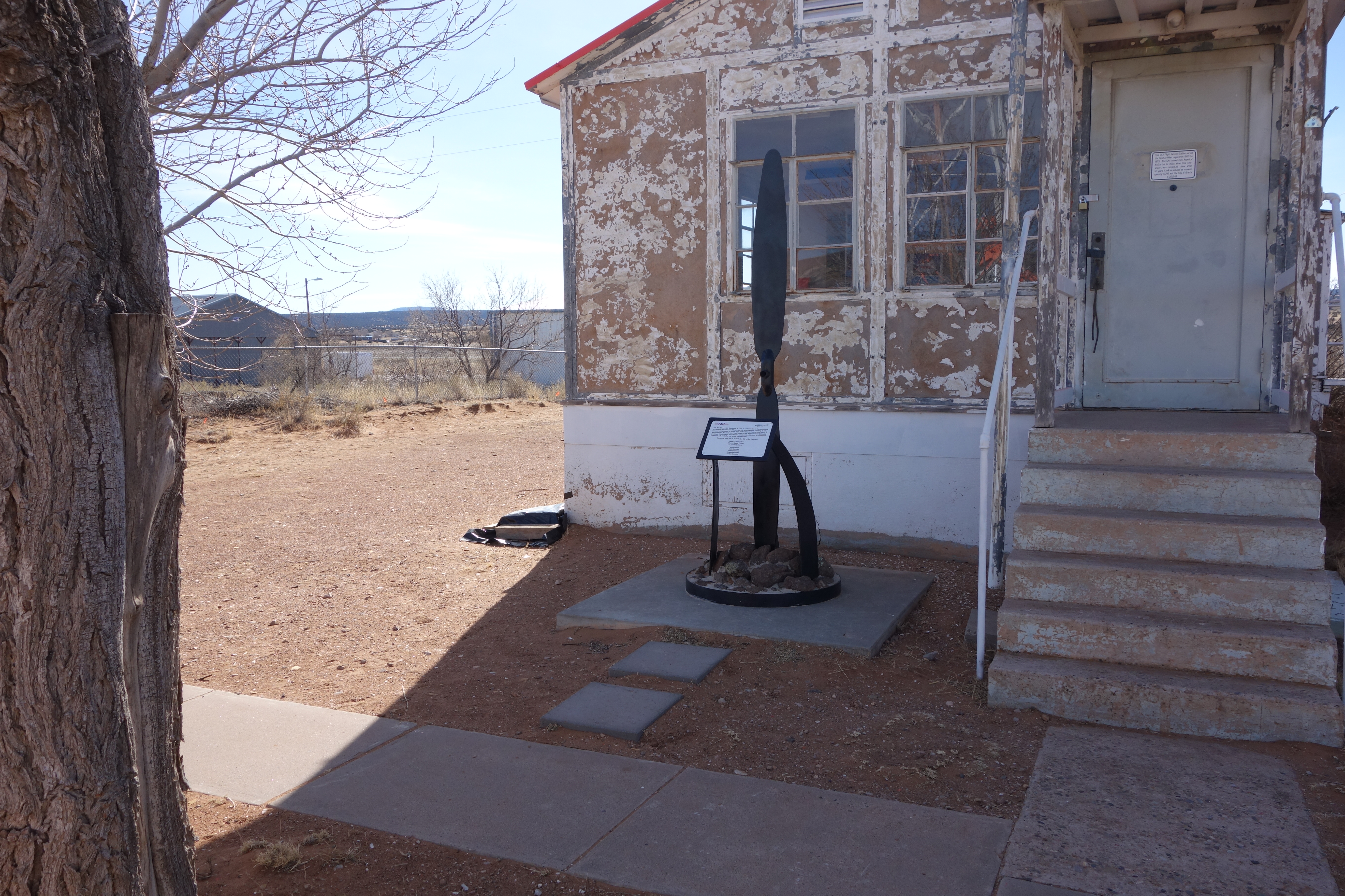
 of an accident that occurred in 1929. And the last picture is a photo of the beacon I took as we departed KGNT . You can see the arrow placed on the ground which would point to the next station. Note that the CAA Flight Service Station depicts the runway headings of 35 and 10 which I believe is because the old airport had two runways. There is only one runway
![]() at KGNT now. Also, what you are looking at is really two different facilities. The CAA Flight Service station was actually located on this field while the beacon and generator shed were moved here by the Cibola County Historical Society. The generator shed was site 62 which meant it was 620 nautical miles from Los Angles. The CAA Flight Service station rooftop also notes that the heading beacon number 54 is 107 degrees. Great job by the folks of Cibola County!
at KGNT now. Also, what you are looking at is really two different facilities. The CAA Flight Service station was actually located on this field while the beacon and generator shed were moved here by the Cibola County Historical Society. The generator shed was site 62 which meant it was 620 nautical miles from Los Angles. The CAA Flight Service station rooftop also notes that the heading beacon number 54 is 107 degrees. Great job by the folks of Cibola County!